
This 35 mile route visiting three lighthouses in three towns, Oak Bluffs, Vineyard Haven and Edgartown, is textbook Martha’s Vineyard Mixed Terrain! It’s so much more than just a gravel ride in every possible way! You’ll be riding on town roads, rural roads, bikelanes, bikepaths, back roads, dirt roads, doubletrack, easy singletrack and more! You can ride it straight through as quickly as possible or make a day of it stopping along the way to snap photos and snack on farmstand goodness. This route goes to the same lighthouses as the paved route, but it avoids pavement as much as possible! There are many places to begin this loop, just start anywhere, it makes no difference. However, I do strongly suggest riding the route in the direction it is presented! It works MUCH better in that direction.
Techy Notes about bicycle choice and the terrain of the spicy route.! Most folks would ride this on a gravel bike with at least 700 x 40’s. 45’s even better! 26 x 2’s if you’re all about that 26in Life. This is not just gravel roads, there’s lots of easy singletrack; but it is also certainly not a mountain bike route. There are a few short, underbikey/mountainbikey sections, but many can clear them no worries on gravel bikes. Boomin’ Ben’s Revenge is 200 feet of steep and rocky climbing, but you can’t be mad, we did extinct his species, the Heath Hen. Expect a few sandy spots, rooty spots and rocky spots here and there throughout the route. Fun, scary, shitty or awesome? Depends on your attitude and your tire pressure I guess. MVmT!!!
GPS route and notes can be found at ridewithgps.com. You will need a GPS bike computer or a phone with handlebarmount to follow the route. This description will not be enough, there’s endless twists and turns, especially in the woods, which render old school cue sheets useless.
The route begins in Oak Bluffs, the hub of Summer Ferries, right at the Ferry landing, between the Flying Horses Carousel and All Star Bike Rentals. There’s plenty of places to grab a bite to eat or stock up on snacks and supplies for the ride. Within minutes you will be passing in-between the famous Gingerbread Houses and the harbor. And just after that, busy town life fades away as you enter quiet neighborhoods and weave through East Chop’s dirt roads.You’ll pop out back onto pavement and immediately ride along the top of a bluff and arriving, almost too quickly, to the East Chop Lighthouse.
The castiron lighthouse was built in 1875 and is the third one, the first having burned.
As you descend Telegraph Hill, the water views double, with Vineyard Sound on your right and Crystal Lake on your left. Not too shabby! Soon you’ll be taking a right onto Temahigan Ave for a short bit and as the road turns right at the hospital, you will see a separate bike-path on the left side of the road. Cross over onto the bikepath at the first, safe opportunity and use it for heading up and over the draw-bridge that allows sailboats access into Lagoon Pond.
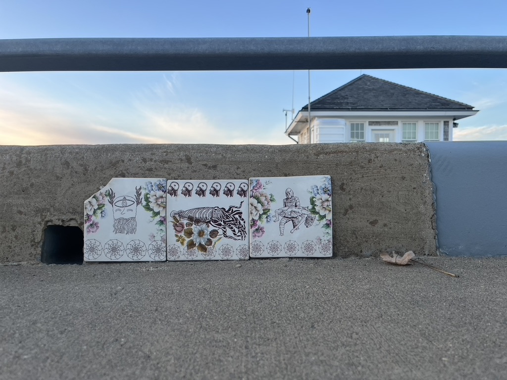
Great views to be enjoyed from the top of the drawbridge, but not all the views are grand and sweeping. Be sure to look out for public art of all sizes all around the island.
Soon the bikepath becomes more of a sidewalk interrupted by driveways and that’s a great time to transition back across the road and riding the shoulder/lane of traffic.
Five Corners is a really….interesting…. intersection due to the island’s absolute reluctance to install a traffic light on the island. Locals are great about navigating their cars and trucks through it and it isn’t as bad as it looks, but always be aware. You’ll also be taking a right and heading past the OB ferry building, which is slightly less intimidating as riding directly though and staying on State Road.
Vineyard Haven, also known as Tisbury, is a quiet port town with the smallest Main Street of the down-island towns. If you’re wanting to get off the bici and walk and explore, lock it up and check out the little downtown. Or, just continue north on Main street. Next stop, West Chop. And, of course, there’s a lighthouse there too!
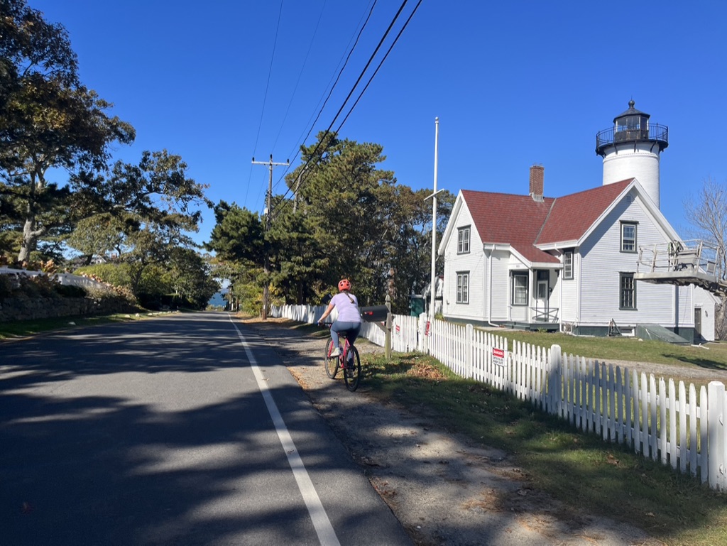
The current West Chop Lighthouse is 45 feet tall and was built in 1891 of bricks. The first structure was built in 1817 and has been moved back from the eroding cliffs and completely rebuilt several times, but it still uses its original fresnel lens.
There are a lot of roads on the island with “private road” signs that contain public parks and Land Bank properties. Private in these instances just means the town does not maintain the road.
Extra credit to take right to Tashmoo Town Beach!
Tashmoo Overlook!
Brickyard Bicycles if needed. Or just stop in because bike shop!
Booming Ben’s Revenge
The Greenlands
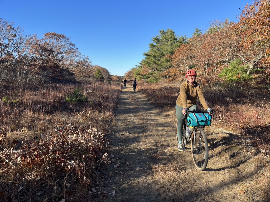
Fire Road 10 cuts clear across The State Forest straight as an arrow, but it is not boring with its constantly changing surface and the constant great views.
Bikepath
Morning Glory Farm! You’re here, you really should just stop inside the farmstand and take break. Take a peek inside, I’m sure you’ll find something tasty! During season, you can also sometimes find a delicious farm food truck in the parking lot.
Katama and Katama Kitchen and the dirt airfield
Edgartown and Lighthouse
Beach Road
Jaws Bridge

